Skip to main content


Customised Maps in the Serrania de Ronda of southern Spain
Customised maps for Hiking, Mountain Biking and Outdoor Enthusiasts in the Serrania de Ronda
Maps are indispensable tools forany outdoor exploration and are, for me, like works of art; they can conjure up vivid images of the countryside whilst piquing my interest to explore new areas. I have boxes full of hiking trail maps and MTB routes from around the world. [Wayne Pickering]
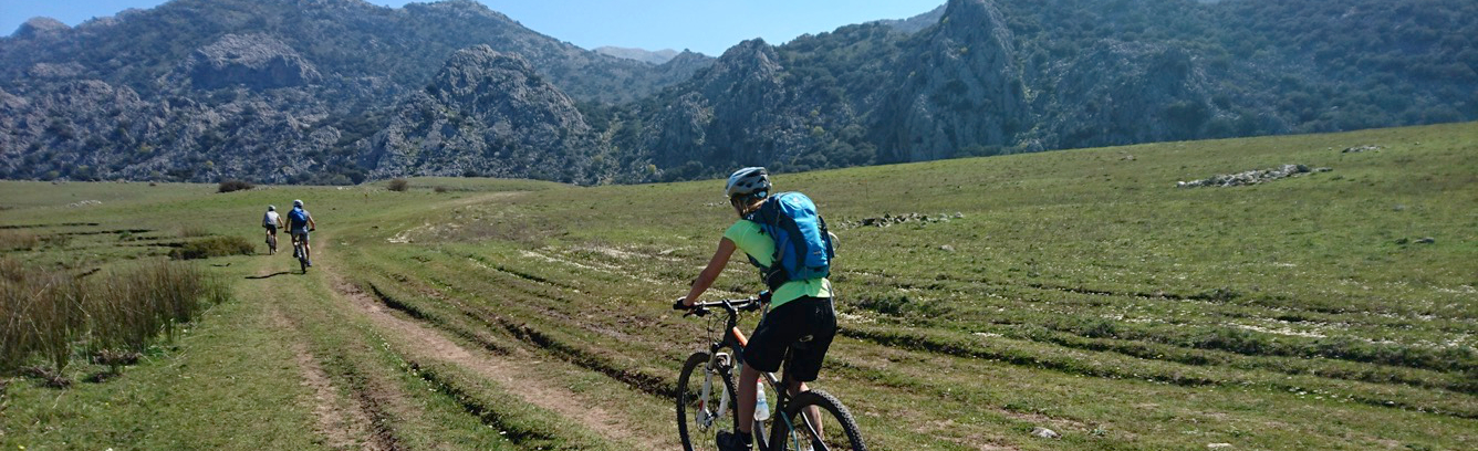
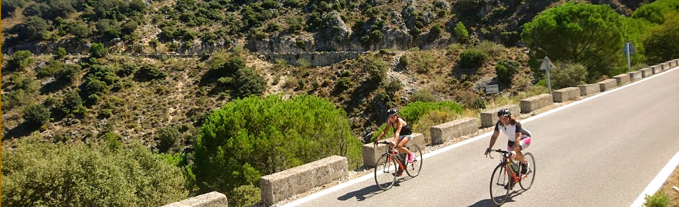
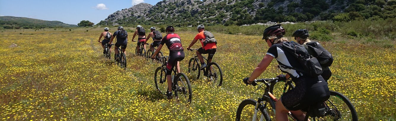
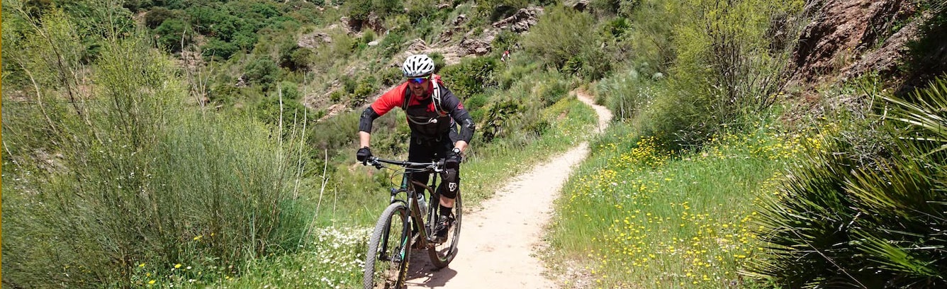
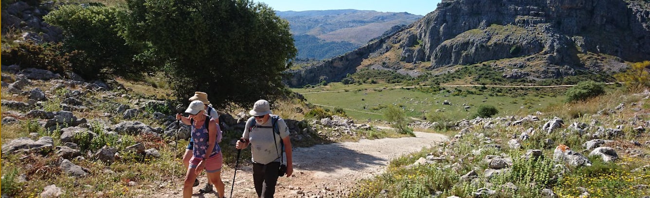
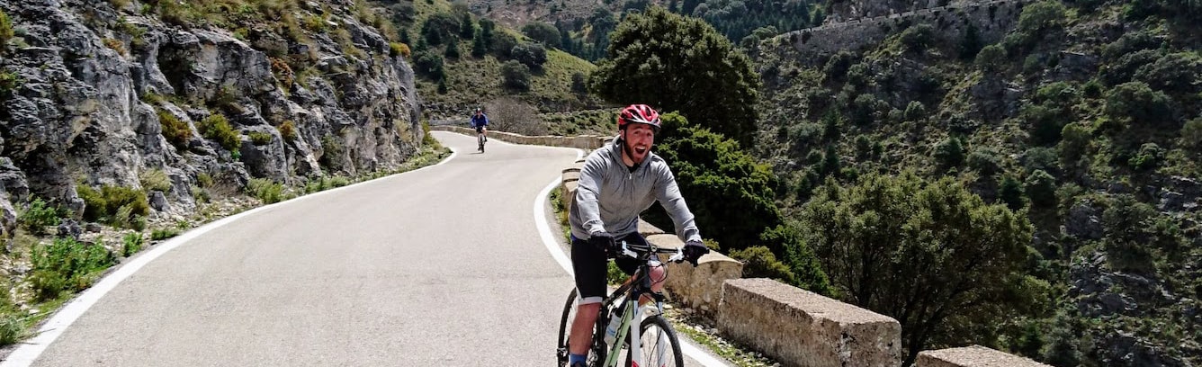
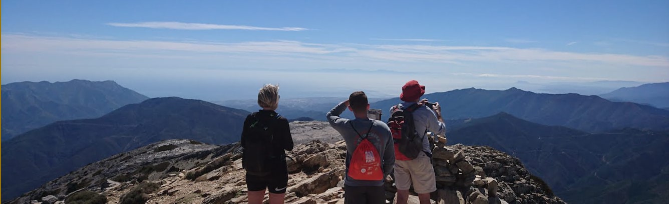
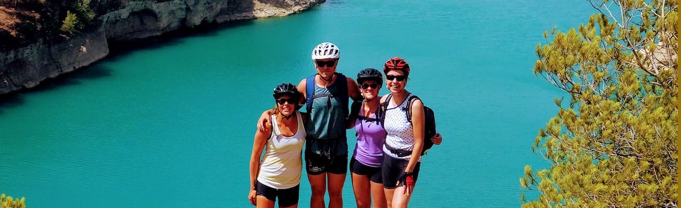
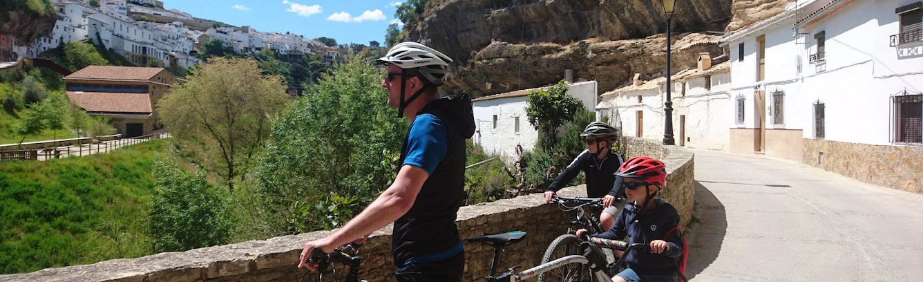
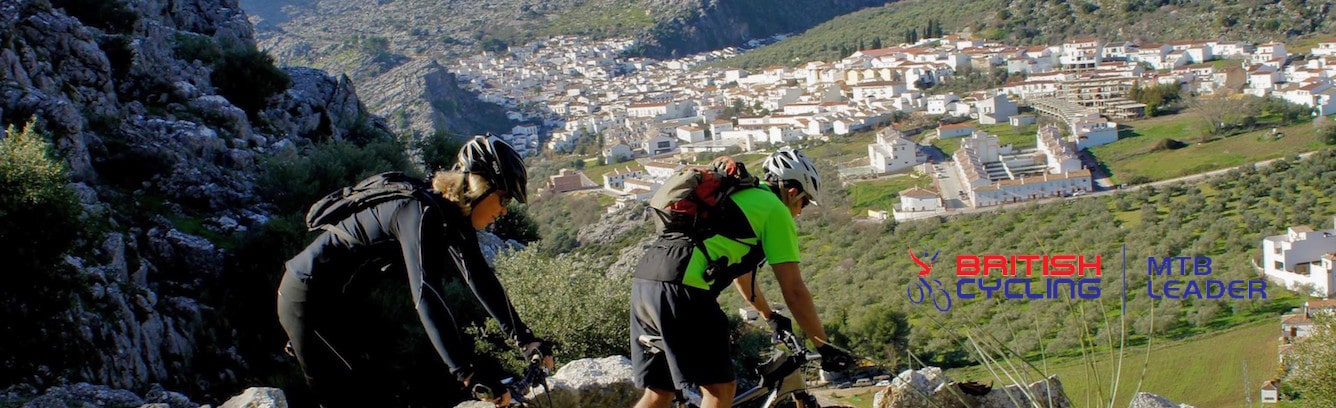
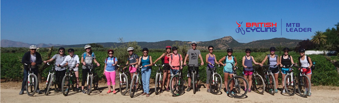
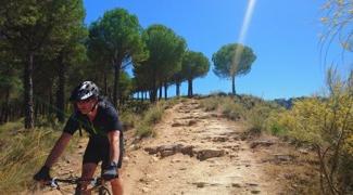
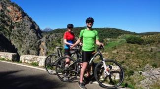
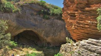
Our region of Andalucía, starting in the Serrania de Ronda and spreading way into the diverse countryside and Natural Parks all around it, is a wonderful area to explore. There is an abundance of trails for hikers, mountain bikers, horse riders and even adventure motorcyclists. However, the available Spanish maps lack all the route information required for faultless exploration and are simply not as detailed as those available in many countries.
Spain’s Centro Nacional de Informacíon Geográfica (CNIG) produces maps for the whole country which illustrate the topographical features but fail to show accurate information on rights of way. They include lots of detail on the lie of the land, roads, rivers, railway tracks and trails but once you get out there, it is often to discover that everywhere is not as accessible as the maps lead you to believe. There are numerous different types of trail - caminos, carills, cañadas, cordels and vías pecuarias – which tempt you to explore along their ways but more often than not, a planned excursion faces a disappointing end. Many of the ways shown are on private land, fenced off or behind locked gates. Some are impassable due to thick vegetation, have been totally washed away over years of erosion or have simply been ploughed out of existence by local farmers.
Free Route Downloads
We are also providing some suggested circular cycling and walking routes in Spain's Serrania de Ronda free of charge Below are links to routes for hikers, mountain bikers and cyclists to give a taster of what this beautiful area has to offer. The waling and cycling routes are totally free and come with a GPX file and maps using clips from our customised CNIG maps.
Click on the links below for FREE map and GPX files.
If you prefer to explore with a guide or make a longer trip to the area, take a look at our:
- Guided Day Trips for MTB, cycling or hiking
- Guided and Self-Guided Holidays and Tours for MTB, cycling or hiking
Or ask us for a bespoke set of maps and routes to suit your preferences.
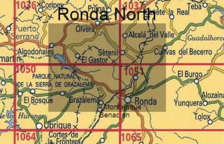
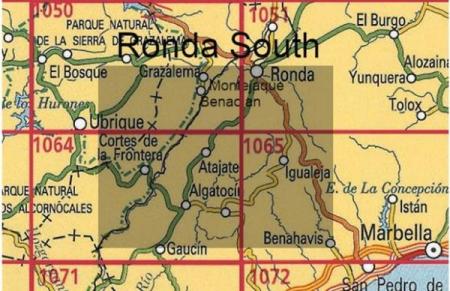
Customised Route Maps for North and South of Ronda.
|
Hike and Bike Maps
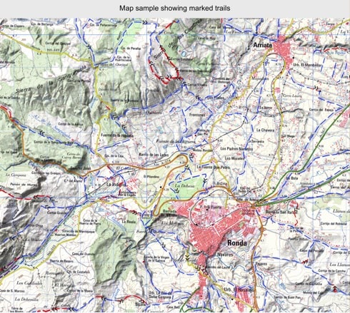
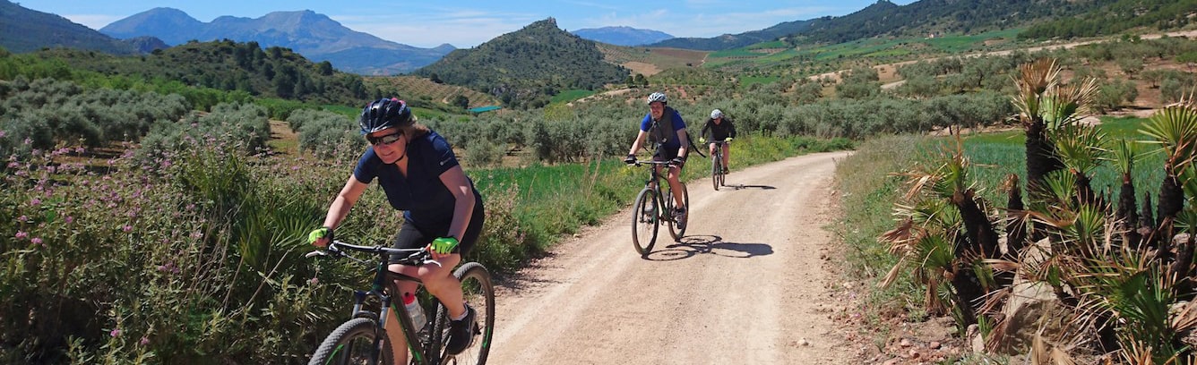
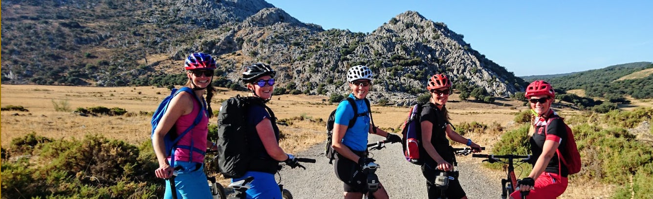
Since 2012, Wayne has hiked and ridden his mountain bikes and dual sport motorbike all over the region. He has investigated near enough every trail in the area around Ronda and as far as Sevilla, Cadiz, Tarifa and Granada. He has built up unrivalled knowledge of where you can and cannot go. This local information is the basis of our guided hikes and bike rides. Now we can share it with a wider audience in our unique customised maps. Using the CNIG maps as a basis, he has marked up trails that can be used for hiking, biking, horse riding and even adventure motorbike riding with a simple colour code for varying types of trail. He has clarified usage and access and added some trails that were not previously shown at all.
Our maps are available as printed maps at 1:44,000 scale (23mm=1km). |
Map Coverage for Hike & Bike Maps
There are two maps available: Ronda North and Ronda South.
|